Program Objectives
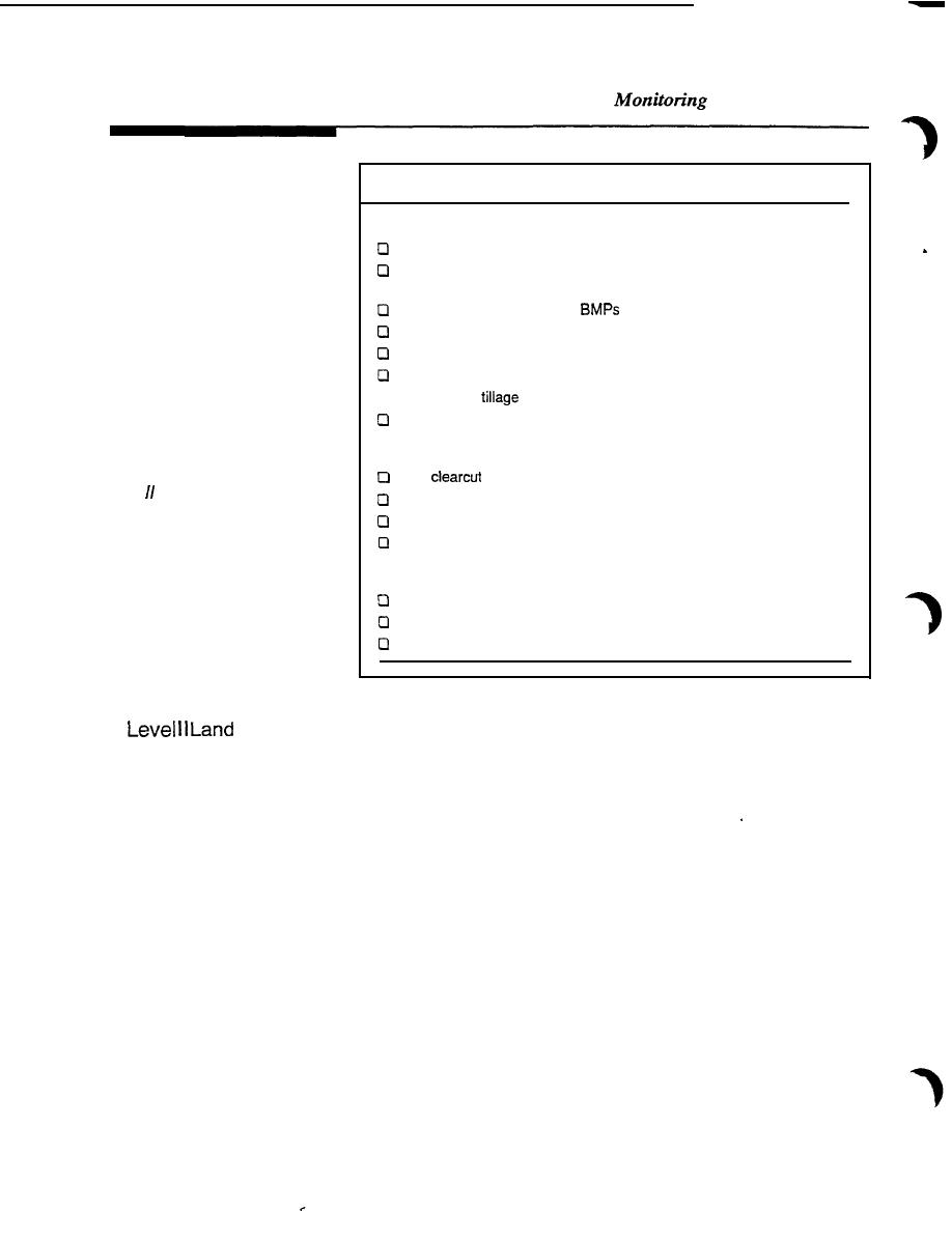
Table 3.3 Land Use and Land Treatment Explanatory Variables
Agriculture
The animal unit density per subwatershed
Area receiving manure per subwatershed and amount and timing
of application
Tons of manure treated with
Area receiving commercial fertilizer and application rate
Stream miles with direct livestock access
Area of each crop
Cl Rotation and
for cropping systems
Area receiving pesticides, pesticides used, and application rate
Individual source areas
Forestry
should be tracked for
Area
/eve/
/and treatment
Area harvested during high soil moisture conditions
monitoring.
Area prepared for planting
Extent of road building (distance and slope)
Urban
Land use (e.g., residential, commercial, industrial)
Area under construction or land-disturbing activities
Area with storm sewers not being treated
Treatment
The frequency of level II data gathering should be decided for land treatment and
land use monitoring. Intensive management practices for pesticides or nutrients/
and Land Use Monitoring
animal waste require monitoring at a greater frequency compared with monitoring
the installation of structural practices such as manure storage, roofing, grassed
waterways, or terraces. Monitoring cropping type and rotation, tree planting, and
Conservation Reserve Program areas may be less frequent.
Individual source areas should be tracked for level II land treatment monitoring.
For agricultural data a farm operator survey should be developed and used to
gather data. Coffey et al. (1991) and Meals et al. (1991) have developed farm
operator surveys for level II land treatment tracking. Farmers should be inter-
viewed at least on an annual basis to track cropping system, animal operation and
waste management variables. Source area aggregation for the analysis with water
quality data should be at the subwatershed level above the appropriate water
quality monitoring station.
The use of a geographic information system (GIS) is essential for level II land
treatment tracking. GIS systems are available for the personal computer and some
software packages are menu driven and are compatible with other packages.
Sampling Locations
Initially, the point of designated use or some location critical to ecological
condition should be monitored. Samples should be reasonably representative of
the volume of water that is most meaningful to address the monitoring objective.
3.7


 Previous Page
